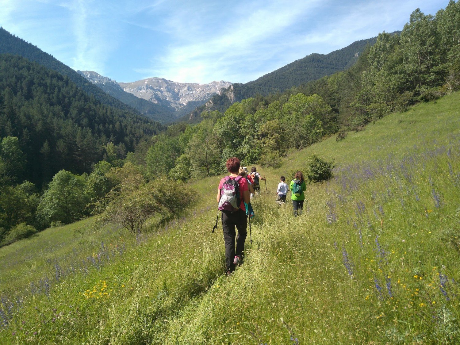
Ridolaina Valley
You can access Prat d’Aguiló by a track from Montellà, but the most recommended walking option is to acces from Nas, following the “Ruta dels Segadors” through the Ridolaina valley. Known as La Cerdanya road, it was used by the groups of reapers from Gòsol, who rented farmhouses in La Cerdanya. In the summer of 1906, the painter Pablo Ruiz Picasso also used this route.
Technical Data
Access: From Bellver de Cerdanya, take the local road to Pi. Then continue to the right on another road to Nas. Cars have to be parked at the entrance of the village.
Home: Nas.
Difficulty: Easy
Maximum altitude: 2,040 m
Elevation gain: 815 m
Total duration: 5.30 h (3 h one way + 2.30 h return).
Time of year: Second half of spring, summer and the first two months of autumn.
Notes: In winter it is a route suitable for snowshoeing.
Route
From Nas (1,225 m) follow a track marled the yellow-white stripes of the PR C-124. Cross ” Pla de Nas” and leave a shortcut to the right that climbs the “Collet” (1,360 m, 20 min). Here it connects with the track. On the plains of “Hereus”, on the other side, the ruins of the tower of “Sant Romà”, a medieval fortification, can be seen falling from the valley. Further up, take another shortcut to the right that crosses a canal and connects again with the track in front of the Tosca fountain. A few steps to the right, along the track, you reach the spring of the Cortal de l’Oriol (1,560 m, 1 h 15 min). Above it is a meadow with a shepherds’ refuge. Without leaving the track, go down to La Baga, where the track gains altitude. You cross the Abeurador torrent and, going arounf a buttress, you cross the Eres torrent. A little further up there is a detour to the left (1,640 m, 1 h 45 min) which must be taken. Leave the main track and go up following a secondary track. Not much later, you have to leave it on a path, also on the left, which runs very close to the Eras river, but which does not cross it. The slope increases, but it is pleasant thanks to the panorama of the northern side of Cadí. After a while you reach a meadow surrounded by the woods and find a forest track that passes by a metal hut. The slope is moderate and this track connects with the one that goes from Montellà to Prat d’Aguiló to the Coll de l’Home Mort (1,850 m, 2 h 30 min).
Continue along the track to the left, where a shortcut also on the left leads very close to car park at the end of the track. The same track leads to the guarded refuge of Prat d’Aguiló (2,040 m, 3 h). From this meadow, a walk from the northern side of Cadí, the whole Ridolaina valley is seen from above.


